


Standards

Local Standards
Our company supply tools to environmental Engineers to monitor the pollution for air and water coming from samples and laboratories checked with the standards

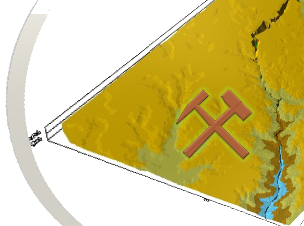
QUADRANT-ENC provide a customized mining database solution with analysis and reports based in the local standard of each country.

- The local Standards specify general information such as the Standard Code, Standard Name, Standard Description and Standard Flag fields.
- Based in those specifications the users can add records in the Parameter Limits grid of their country of origin. Each parameter limit (Standard Value) is linked to a single parameter and has to be in the same units specified in the standard for that parameter. The Maximum and / or Minimum limits can be set. Once standards are set up in the database application they can be included in reports. Any Results in the report that exceed a standard value will be flagged.
- If a standard is linked to a station, then this station sampling results will be compared to the standard values during the import data check.
Software product that uses a relational database
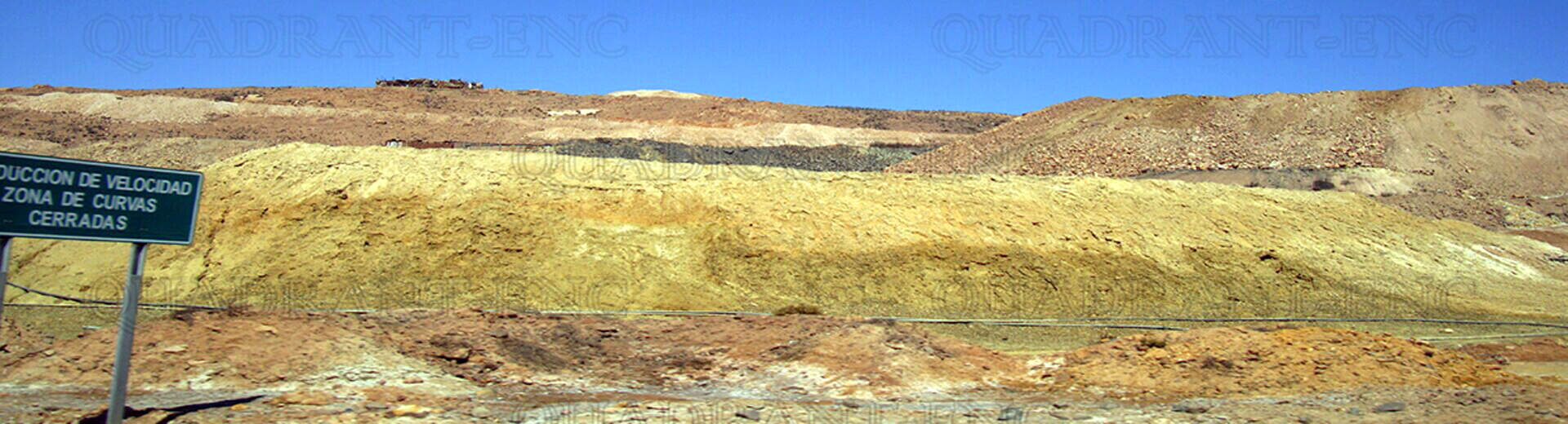
- This can include data from monitoring programs for surface water, ground water, biological, soil and air quality environmental monitoring data, as well as many other frequently monitored environmental sub-systems.
- Environmental monitoring data consists of sampling Stations, Samples, analytical Parameters, analytical Results, Standards, Laboratories, and several other data classes. EQWin application stores each class of data in a separate table. The relationships between tables reflect the natural structure of the data.
- Relational databases do not store the same information repeatedly. This makes the database much easier to search and update, and allows for much more sophisticated data retrieval (reporting) operations to be made available.

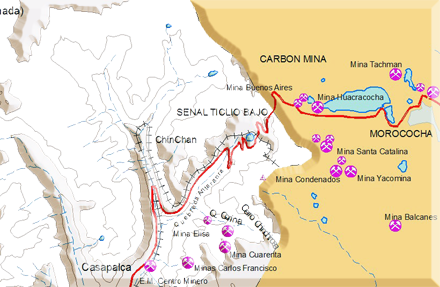
Our Company support the use of diverse Geographic Information System (GIS), Opensource Applications & CAD programs
- Our Geographical Information System (GIS) manage map information with several layers representing the land features with mine locations and including the environmental monitoring data.
- The GIS system display information from surface water, ground water, biological sectors, type of soil and air quality stations including data from sub-systems in real time - The map GUI allow the users to store results in separate tables including other type of data class. - The database structure contain same standards with relationships and include the same single recording operation by station codes.
- There are some tools to import diverse GIS formats and CAD files including the use of header with Geodetic parameters for each file.
Our database keep records of the growth, status, production with statistics and current values in the stock market
- In some countries their mineral production are based on the growth of their gold sector as well as expansion into hydrometallurgical projects.
- Some ministry of energy grants concessions; it reviews and approves the Environmental Impact Assessments that companies prepare in order to move to the exploitation phase. Is responsible for monitoring the environmental and social performance of companies against the standards laid down in the Environmental Impact Assessment.
- Foreign investment in that country has resulted in the development of several world class deposits, including Gold Mines and the massive copper-zinc mine production.